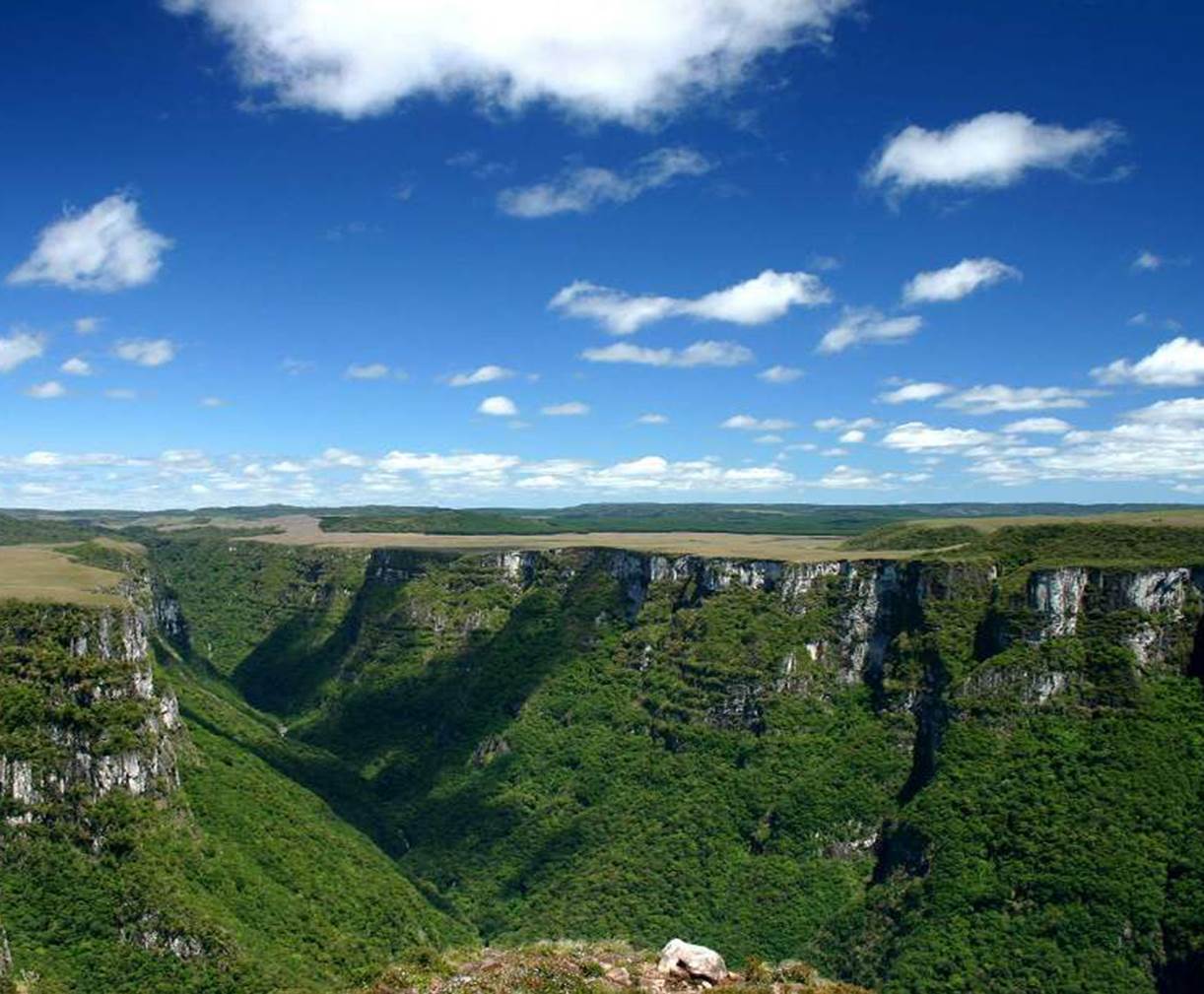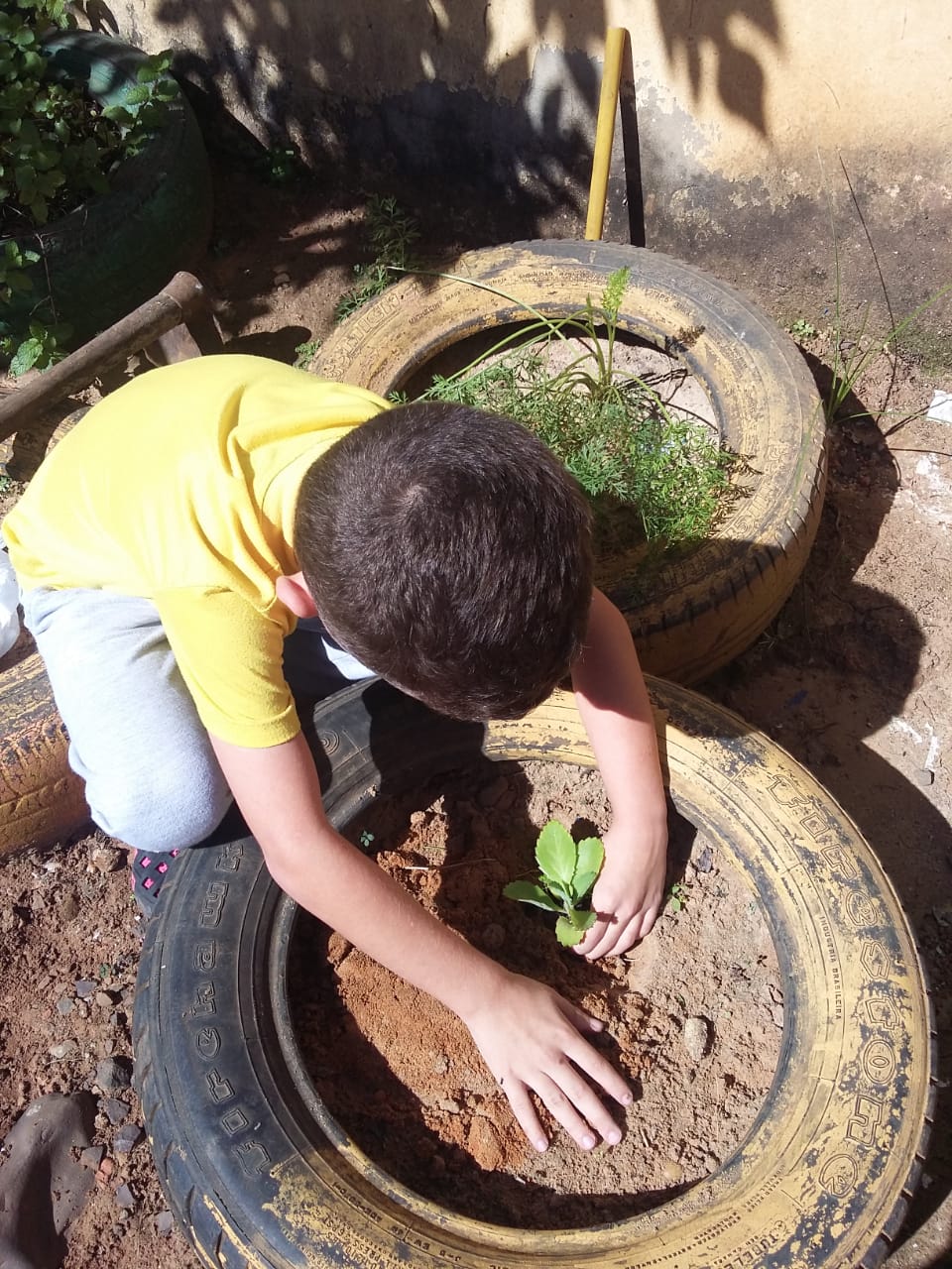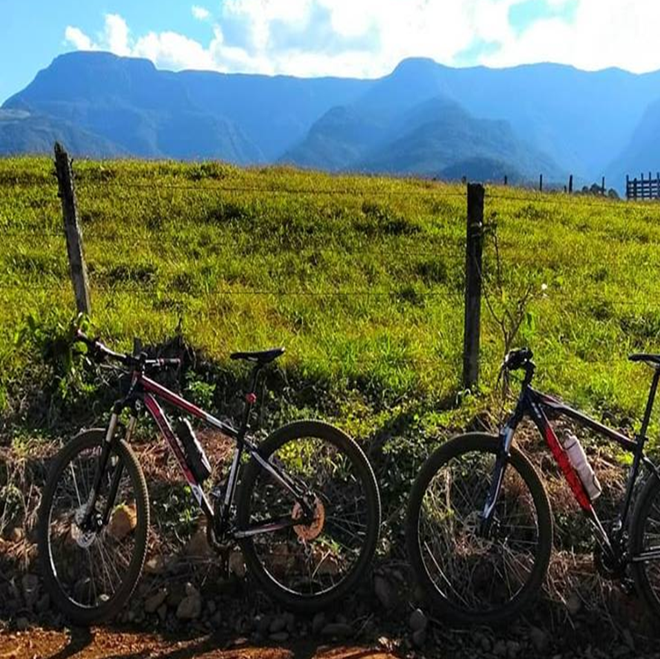
A Geopark is an area with clearly defined boundaries, where sites and landscapes of international geological relevance, combined with other natural and cultural assets of the region, are integrated into territorial development strategies involving nature conservation, education (formal and informal) and the promotion of economic development, in particular through tourism.
With a bottom-up approach to partnership and participatory management, it aims to combine nature conservation with the principles of sustainable development involving the local communities.
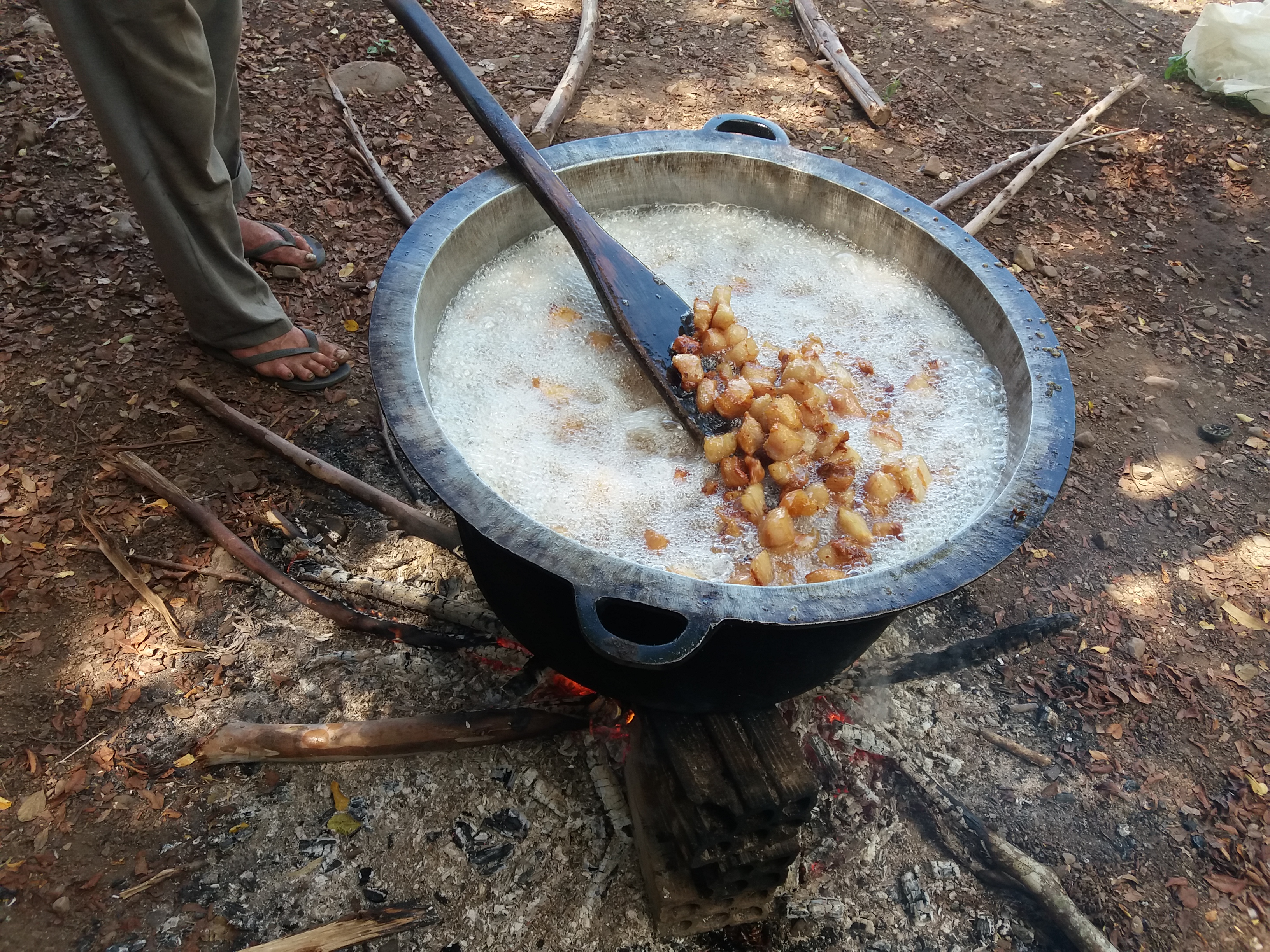
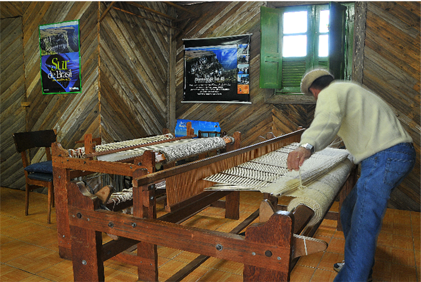
By raising awareness to the importance of conserving and valuing the sites and landscapes which serves as a record of key aspects and stages in Earth's geological history (geological heritage) and the historical and cultural diversity of the people living there, geoparks contribute to a sense of pride of the region and strengthen the identification of people with this territory.
In order to create opportunities and improve the living conditions of the people that inhabit this region, a geopark must be based on the following principles:


A concepção de um projeto de Geoparque entre os estados de Santa Catarina e Rio Grande do Sul começou a ser idealizada em 2007, por iniciativa do prefeito de Praia Grande (SC), na época, Sr. João José de Matos. A proposta envolvia seis municípios da região, sendo três de Santa Catarina e três do Rio Grande do Sul.
Já em 2009, o projeto Geoparque passou a ser liderado pela parceria entre a Secretaria de Desenvolvimento Regional (SDR), de Araranguá (SC) e Associação dos Municípios do Extremo Sul Catarinense (AMESC). Nessa época, o território do Projeto foi ampliado para 19 municípios.
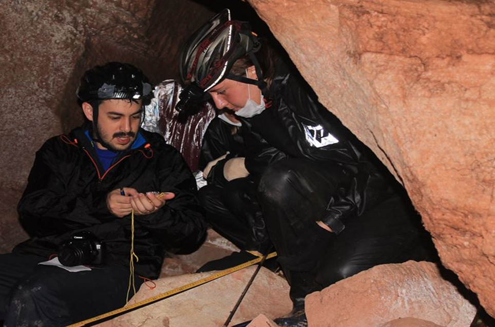
Entre 2010 e 2011, aconteceram os primeiros estudos para iniciar o inventário dos geossítios pelo Serviço Geológico do Brasil (SBG-CPRM), através da Superintendência de Porto Alegre (RS).
Em 2014, com o amadurecimento do projeto, a área do Geoparque foi reduzida para os atuais sete municípios, como forma de direcionar os esforços para uma área núcleo.
Em abril de 2017, o processo avançou para a criação oficial do Consórcio Público Intermunicipal Caminhos dos Cânions do Sul, órgão responsável pela gestão do projeto, formado pelos sete municípios que compõem o território.
Em 2019, o Consórcio enviou à Unesco o dossiê oficializando o processo de candidatura. O projeto passou a ser considerado um Geoparque Aspirante, cumprindo uma série de procedimentos como o envio de relatórios e documentações específicas que demonstraram a relevância geológica da região, além de diversas evidências sobre a trajetória da proposta, a gestão e o envolvimento da população.
Em novembro de 2021, o Geoparque recebeu dois representantes da UNESCO que percorreram todos os municípios do território, avaliando se o projeto cumpria os requisitos para o título, entre eles: visibilidade, atuação em rede com outros geoparques, estrutura de gestão, atividades educacionais, culturais e de pesquisa científica, além da relevância geológica. A avaliação foi positiva e recomendou o reconhecimento como um Geoparque Mundial, indicação que foi aprovada por unanimidade pelo Conselho de Geoparques da UNESCO e endossada pelo Conselho Executivo.
No dia 13 de abril de 2022, o Geoparque Caminhos dos Cânions do Sul foi reconhecido oficialmente como Geoparque Mundial da UNESCO.
Successful international initiative that emerged in the early 21st century and culminated in 2015 with the creation of a new title, the UNESCO Global Geopark.
It reinforces the importance of promoting conservation combined with sustainable economic development of sites and landscapes that record key aspects and stages in the geological history of the Earth, our geological heritage!
UNESCO Global Geoparks work closely with the Global Geoparks Network, a non-profit, non-governmental organization that contributes to the exchange of experiences and cooperation among its members.
Collaboration and networking are important components for both aspiring and UNESCO Global Geoparks. The Global Geoparks Network also promotes cooperation in regional networks, especially the Global Geoparks Network of UNESCO for Latin America and the Caribbean (Red GeoLAC).
Em 2025, existem 229 Geoparques Mundiais da UNESCO, distribuídos em 50 países. Deste total, 13 estão localizados na América Latina, No Brasil encontram-se chancelados 06 Geoparques Mundiais da UNESCO: Araripe (CE) , Caminhos dos Cânions do Sul (RS/SC) e Seridó (RN), Caçapava (RS), Quarta Colônia (RS) e Uberaba (MG).
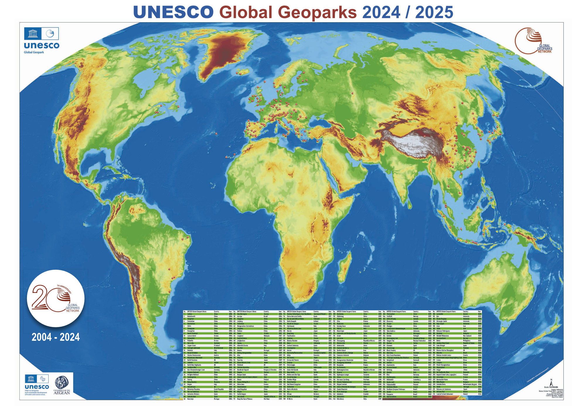
Distribution map of UNESCO Global Geoparks.
Adapted. Click to enlarge.
Original in http://www.globalgeopark.org/