O Geoparque Mundial da UNESCO Caminhos dos Cânions do Sul é uma estratégia que busca impulsionar o desenvolvimento sustentável sociocultural, ambiental e econômico da região,
Situado na região Sul do Brasil, entre os estados de Santa Catarina e Rio Grande do Sul, o território integra 7 municípios, sendo 4 do estado de Santa Catarina: Praia Grande, Jacinto Machado, Timbé do Sul e Morro Grande; e 3 do Rio Grande do Sul: Torres, Mampituba e Cambará do Sul, totalizando uma área de 2.830 km² e uma população de pouco mais de 78.000 habitantes, estimativa 2022..


O Geoparque Mundial da UNESCO Caminhos dos Cânions do Sul tem como princípio fomentar em seu território estratégias que envolvam o desenvolvimento socioeconômico e cultural sustentável, buscando combinar a conservação, a educação e o turismo.
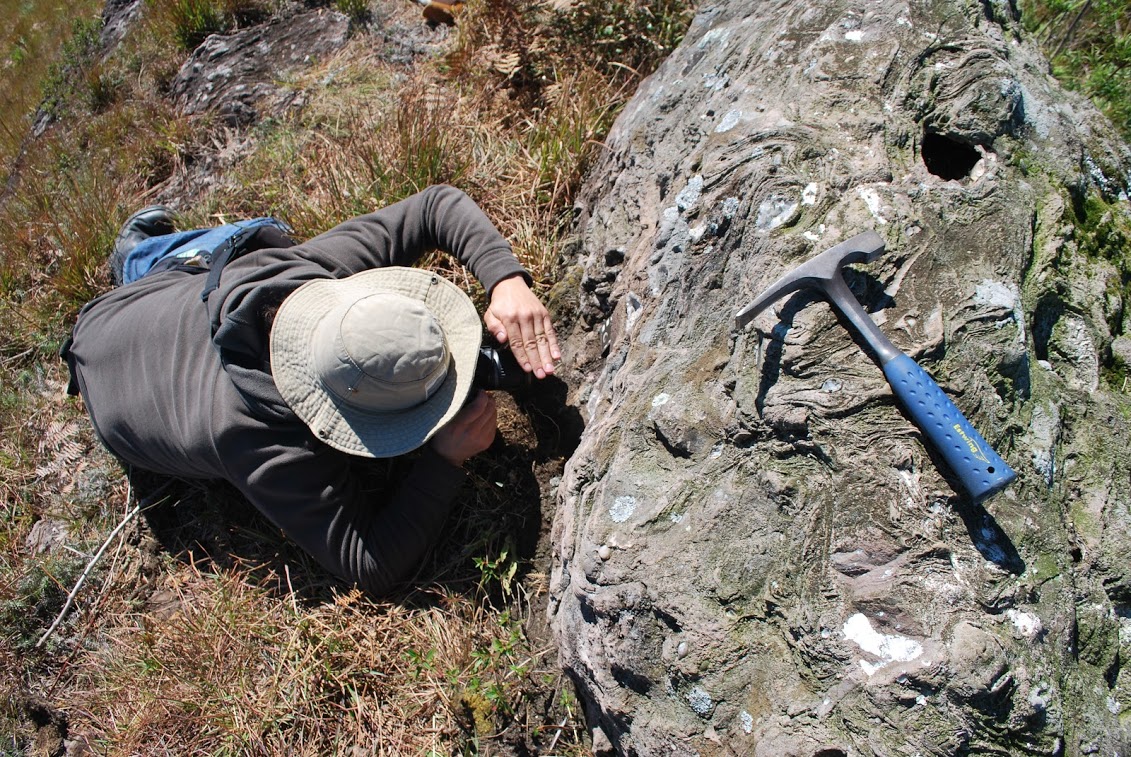
O Geoparque Mundial da UNESCO Cânions do Sul procura conservar os sítios geológicos mais representativos da diversidade regional, com especial atenção àqueles locais que apresentam características diferenciadas em relação ao tipo de rocha e solos, as estruturas geológicas, as variedades minerais, a qualidade e diversidade dos fósseis, as formas de relevo ou de qualquer outro aspecto que permita conhecer, pesquisar e interpretar a origem e evolução da Terra e dos processos que a modelam.
These relevant sites and landscapes of the Cânions do Sul Geopark project territory are part of a geoconservation strategy that favors their sustainable use, whether for scientific research or for educational and tourist activities with minimal impact on the environment.
UNESCO Global Geopark status does not imply restrictions on any economic activity within the project territory, nor does it guarantee the protection of its natural and cultural heritage. For this reason, a geopark must take advantage of the specific legislation of its country to ensure the conservation of this heritage.
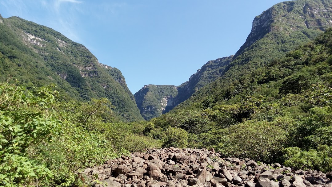
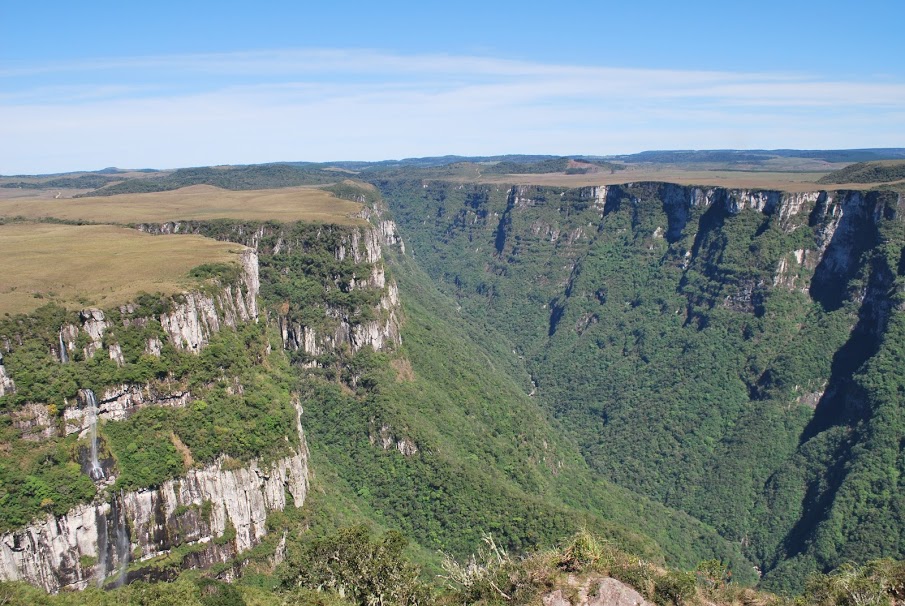
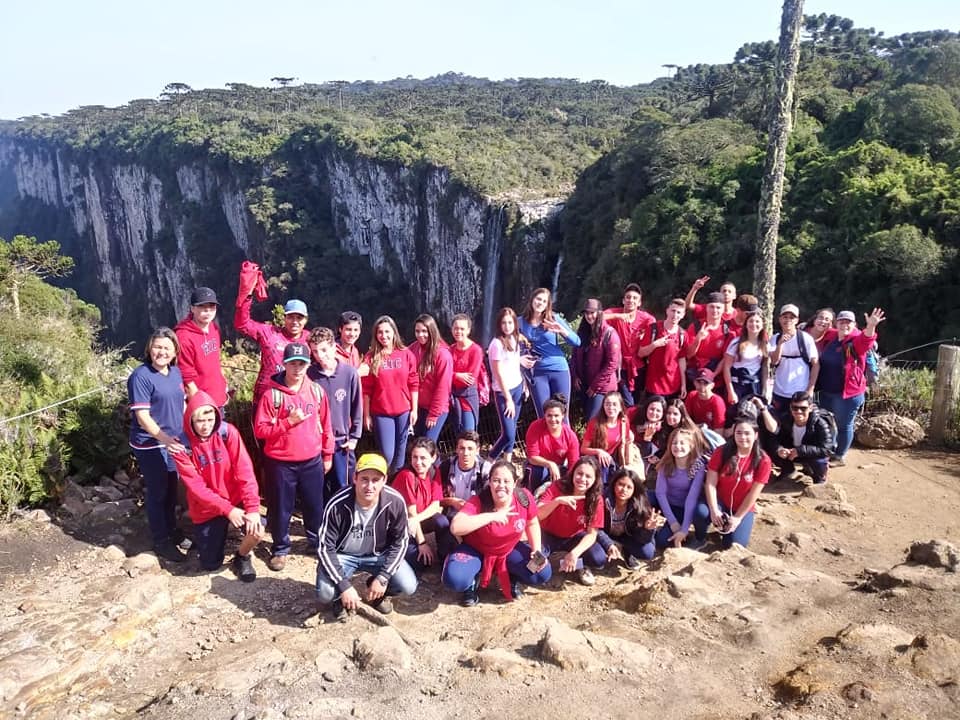
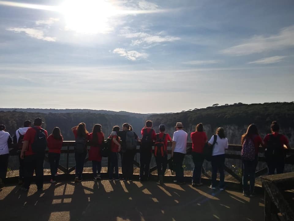
Importantes elementos do patrimônio geológico da região já estão protegidos em Unidades de Conservação existentes no território com especial destaque para os cânions localizados nos Parques Nacionais Aparados da Serra e Serra Geral, como Itaimbezinho, Fortaleza, Malacara, Churriado e Índios Coroados; os campos de dunas do Parque Estadual de Itapeva; e a Ilha dos Lobos no Refúgio da Vida Silvestre Ilha dos Lob
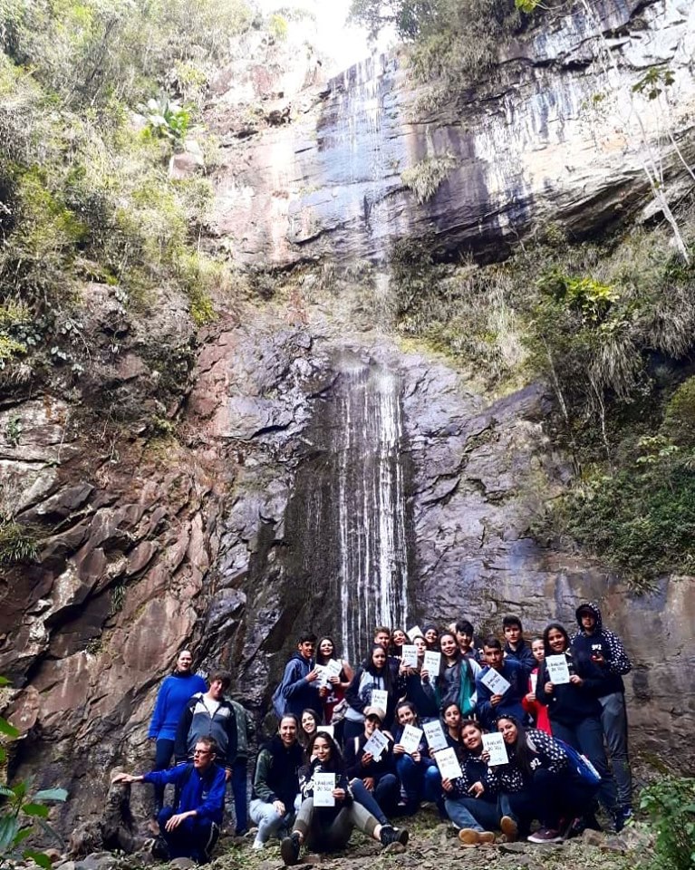
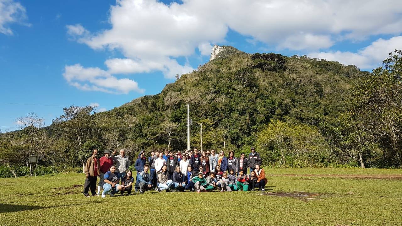
O Geoparque Mundial da UNESCO Cânions do Sul organiza atividades e fornece suporte para comunicar conhecimento geocientífico e conceitos ambientais ao seu público, seja ele constituído por pesquisadores, estudantes e turistas, seja pela sociedade em geral.
These knowledge dissemination actions make use of existing spaces in the territory such as geosites, tourist attractions, museums and memorial houses, information centers, trails, guided tours, school excursions, popular literature, maps, educational materials and exhibitions, interpretative materials, seminars and so on.
In our territory, scientific research and cooperation with universities and research institutes are also encouraged, stimulating dialogue between academia and society, contributing to the renewal of knowledge in the various sectors of the economy, improving people's lives and innovation in order to achieve the goal of sustainable development.
Education actions promote major transformations in geopark territories. Raising society's awareness of the recognition and appreciation of the importance of conserving nature and culture favors the mobilization of actors interested in making tourism a catalyst for positive change for the region.
Brazil has a huge potential for nature tourism, proving its importance as one of the vectors for the economic development of the country. Accordingly, nature tourism segment is growing exponentially, surpassing the growth of other forms of tourism worldwide.
According to the Ministry of Tourism, nature tourism uses the natural and cultural heritage in a sustainable way, encourages its conservation and seeks the formation of an environmental awareness through the interpretation of the environment, promoting the well-being of populations. It is characterized by contact with natural environments, by performing activities that can provide the experience and knowledge of nature, in order to protect the areas where it occurs.
In recent decades, a new segment has emerged as a branch of nature tourism: geotourism. It consists of providing services and interpretative means that promote the value and social benefit of geological and geomorphological sites of interest, while ensuring their conservation for student and tourist use (Hose, 2000). This concept has a strong relationship with the geoparks, as it seeks to stimulate in these territories economic activities supported by the geodiversity of the region, mainly of a tourist nature, in synergy with the potential of the biodiversity, culture and involving local communities.
By attracting a growing number of visitors, geoparks stimulate local socio-economic development and encourage the creation of local businesses and craft industries involved in tourism-related production.
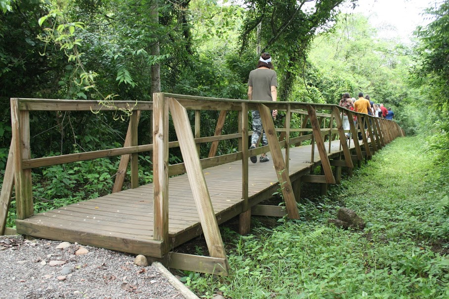
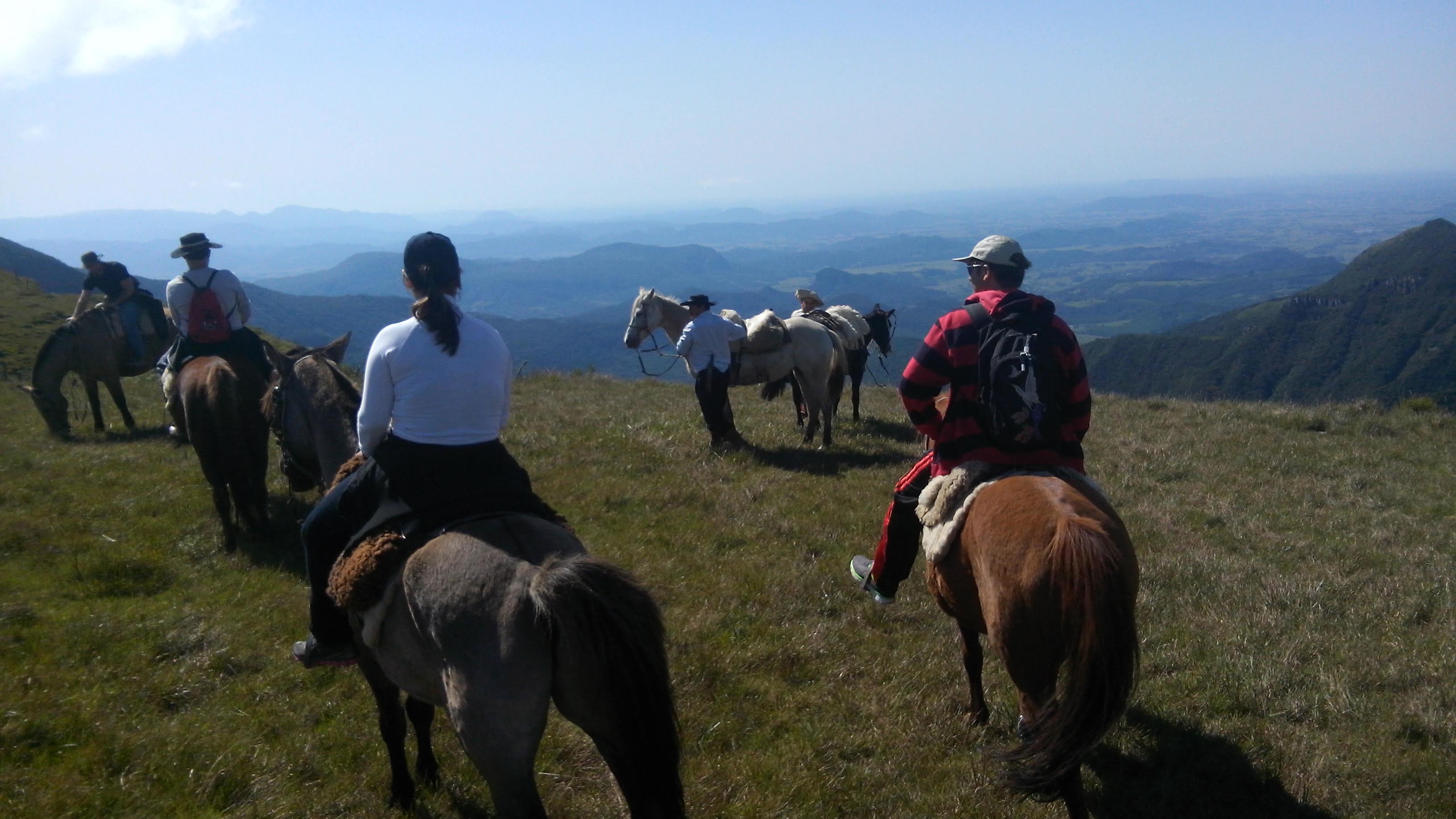
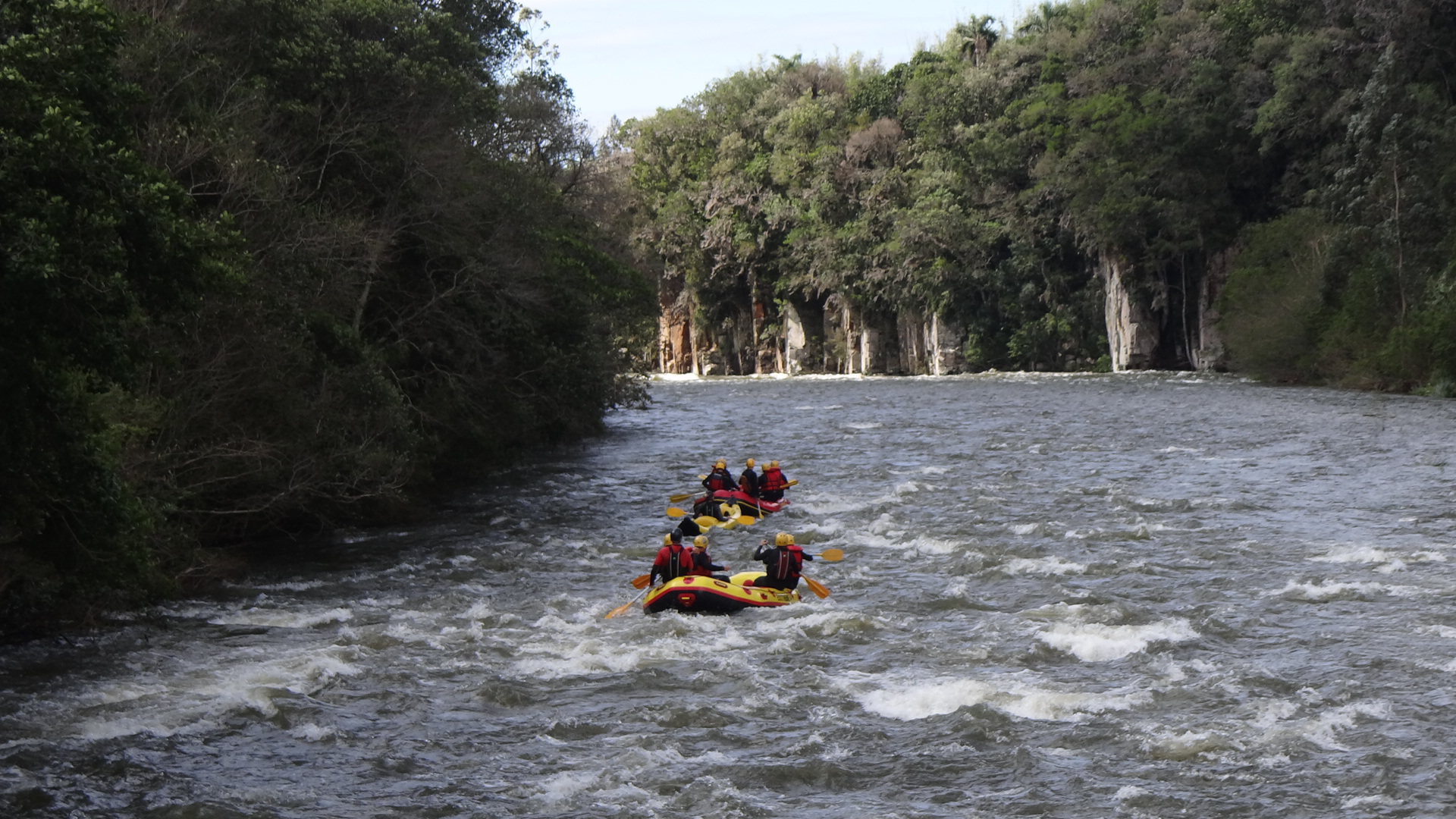
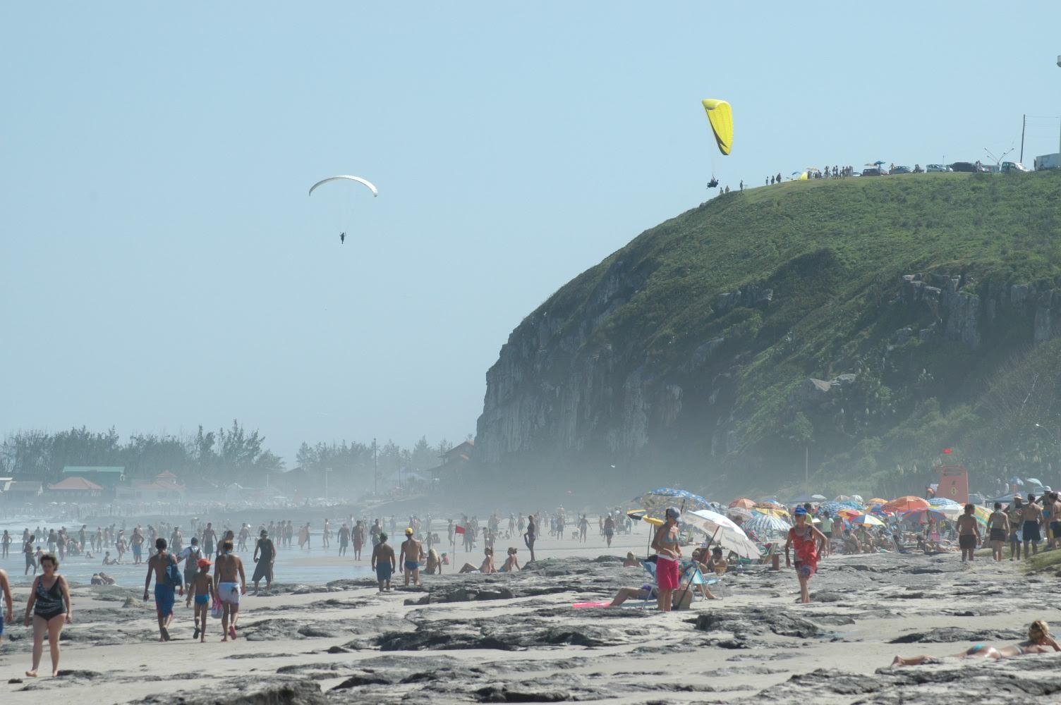
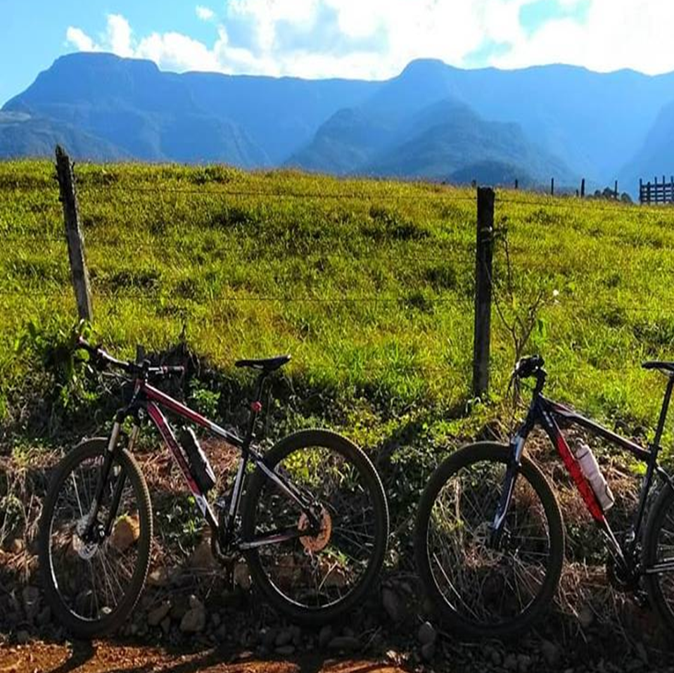
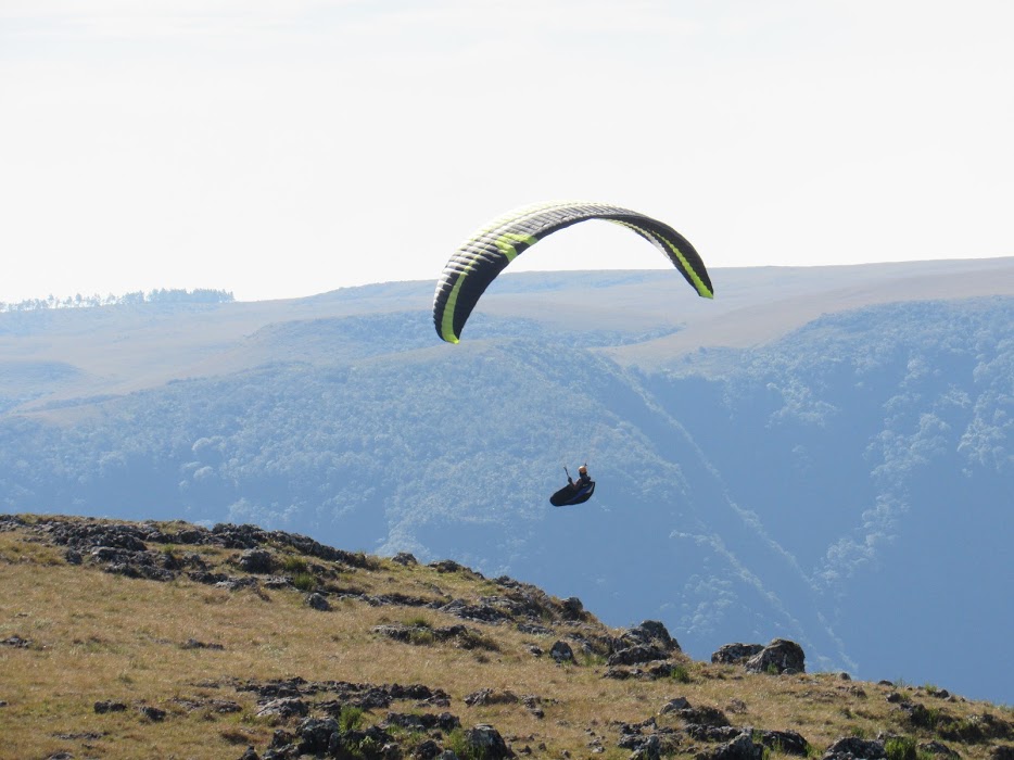
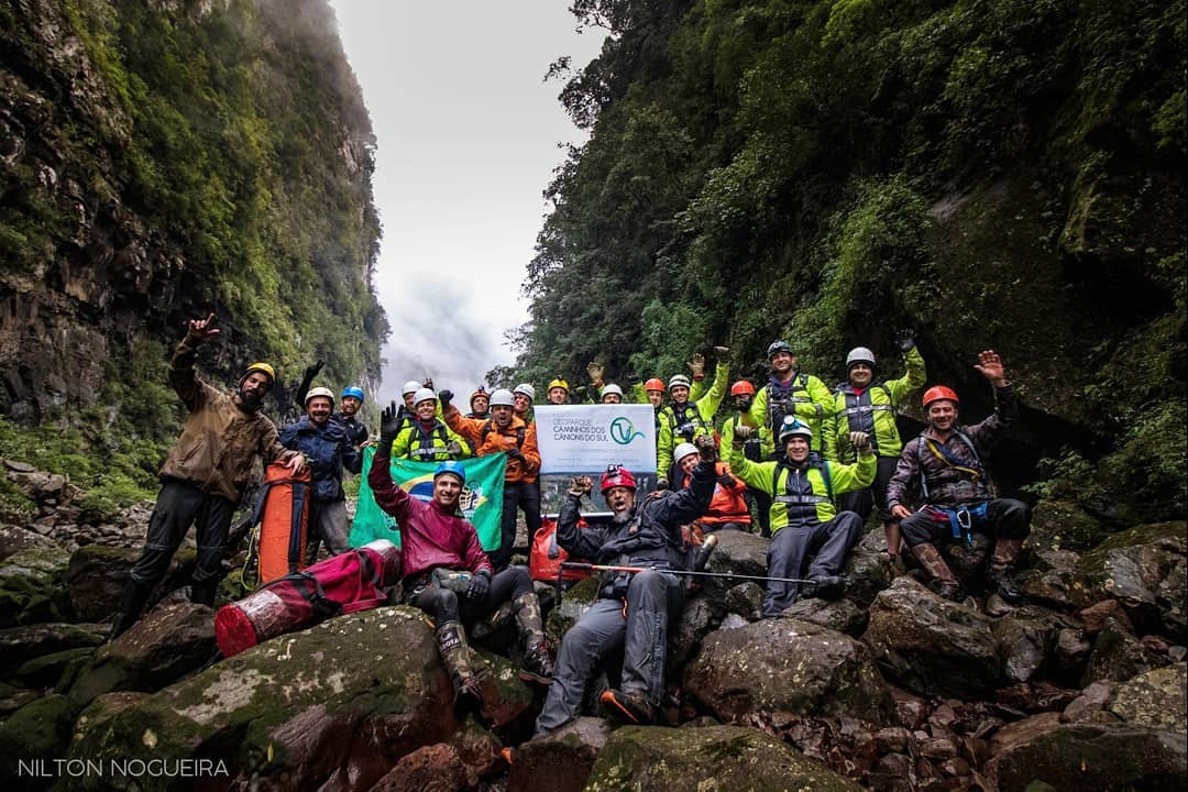
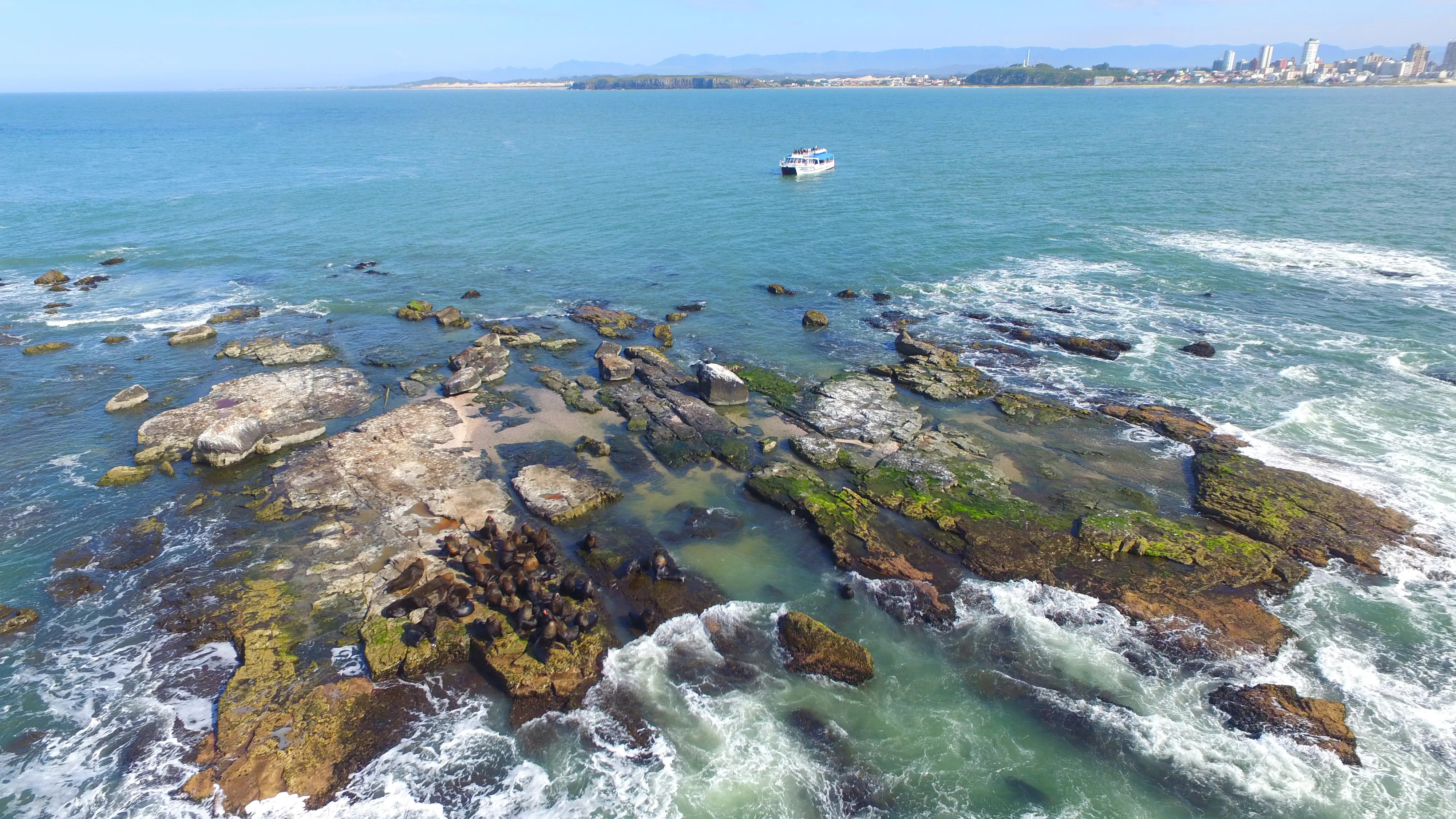
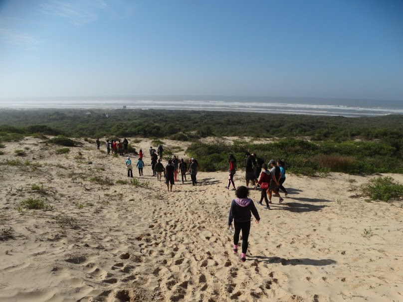
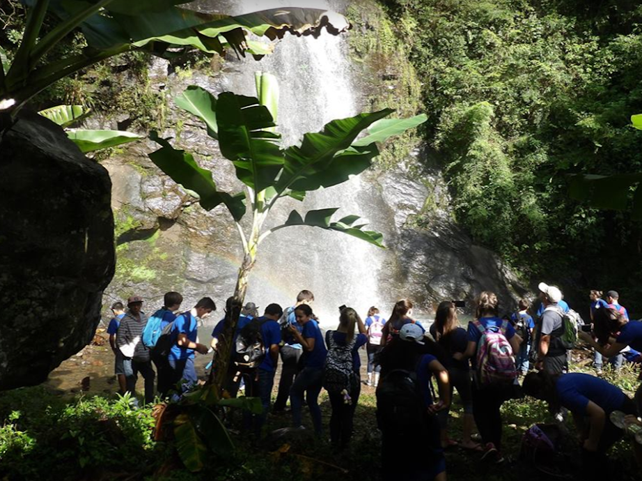
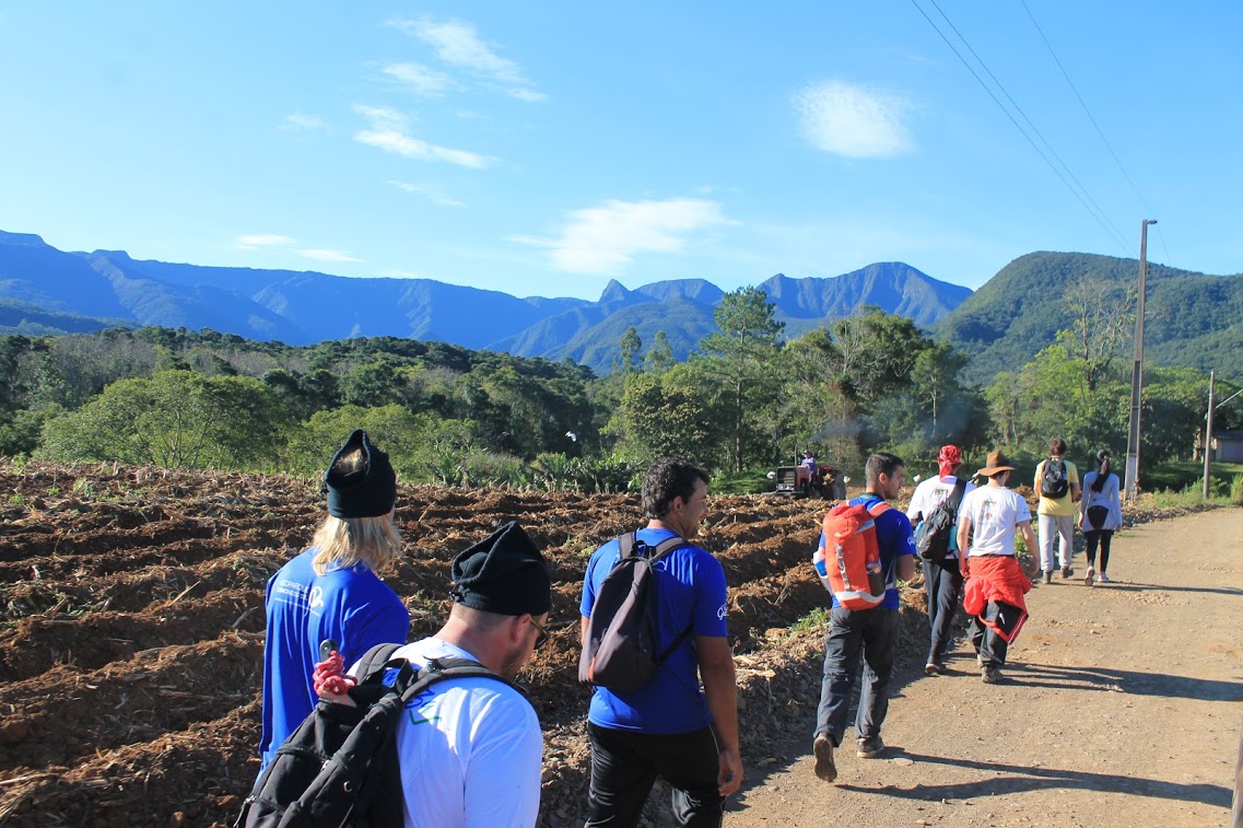
The territory of the Cânions do Sul Geopark project has great potential for nature lovers and sports activities, especially those that are directly linked to the natural heritage, such as nature walks, canyoning, rappelling, rock climbing, waterfalls and swimming pools, natural activities, hang gliding, ballooning, cycle tourism, etc., providing tourists with unforgettable experiences. On the coast there is also summer and sea tourism, with options for surfing, kite surfing, canoeing, jet skiing, rappelling, climbing, paragliding, among others.
Rural tourism is also beginning to establish its bases in the region, being a new opportunity to experience this territory, adding value to products and services, promoting the cultural and natural heritage of the communities that live there.
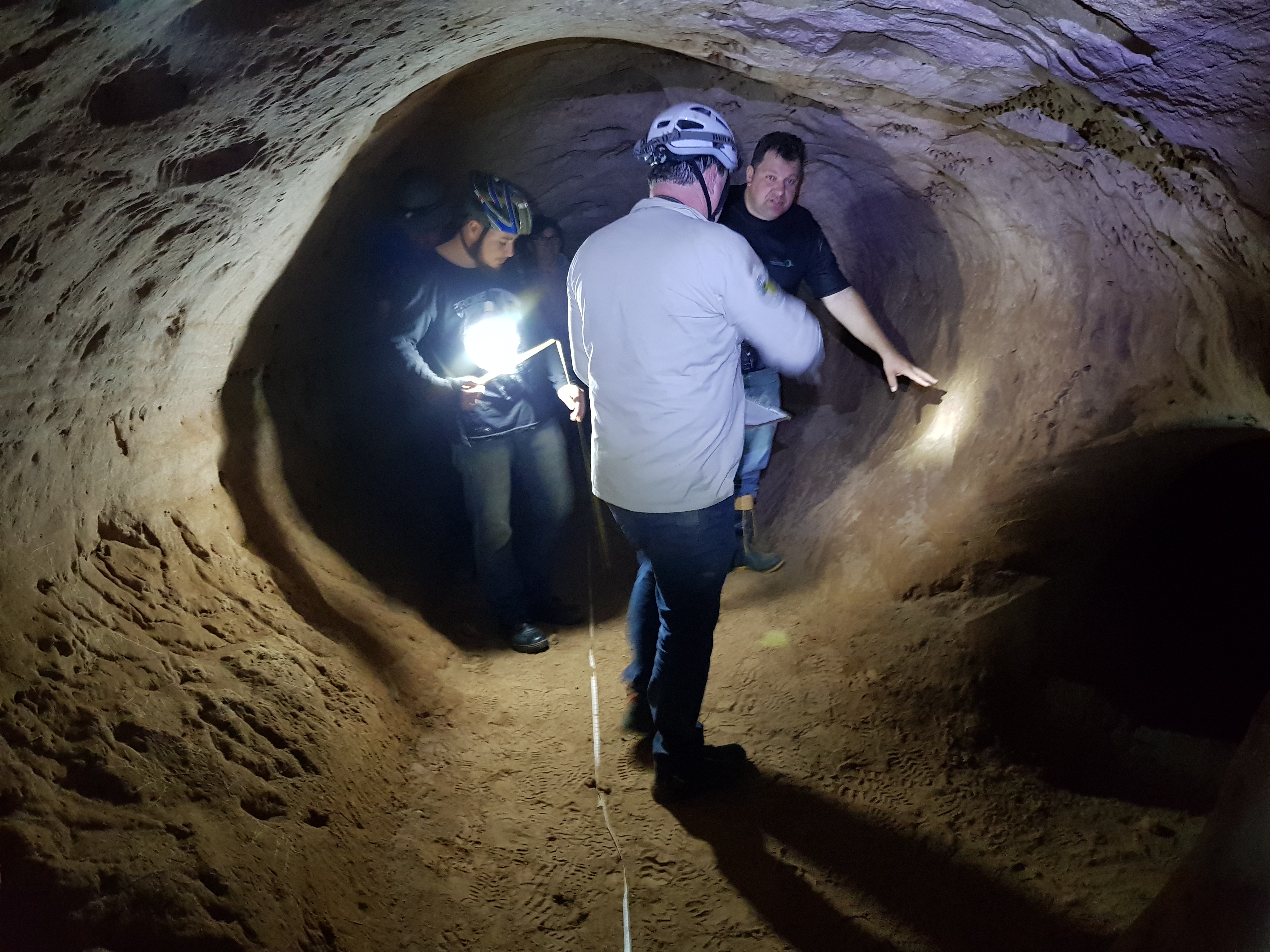
Geotourism, in turn, begins this journey… What would you think of visiting paleoburrows?